Want to Hike Canada's Great Divide Trail? Here Are The Do's and Don'ts
- foundinthewildca
- Jan 5
- 7 min read
If you're looking to challenge yourself by hiking one of North America's most spectacular thru-hikes, the Great Divide Trail (GDT) might contain everything you're looking for.

The Southern Terminus of the GDT is found in Waterton National Park at the Canada-US Border. The trail winds for 1100km through the Continental Divide between BC and Alberta, before ending in Kakwa Provincial Park. It is as challenging as it is stunning, with steep climbs, bushwacking, route finding and river fording being considered just another day on trail. With nearly 40,000m of elevation gain and loss throughout the 1100kms, it's substantially more than just a walk in the park.
We attempted a GDT thru-hike in the summer of 2024, and unfortunately only got to the end of Section C when we found out that multiple new wildfires had closed the rest of the trail. One of these was the Jasper Wildfire, which burned 30% of the townsite a few days after we got off trail. We then went back to hike section D in 2025, plan on hiking section E in 2026, and F & G in 2027.

This is such a unique trail for many reasons, and we learned a lot while planning and hiking the Great Divide Trail. Here are my do's and don'ts for hiking this incredible trail.
[Some links in this post are affiliate links. This means I may earn a small commission at no extra cost to you. I only recommend gear or services that I’ve personally used and trust.]
Do: Prepare and plan your trip with lots of time in advance
Deciding to hike the GDT is not easy from the get-go - unlike other long-distance trails such as the PCT, there is no one single permit that grants access to and the ability to camp anywhere along the trail. The GDT navigates through five National Parks, eight Provincial Parks, three Wildland Provincial Parks, two wilderness areas and two special management areas. You'll have the complex issue of permits to contend with, which many say is the hardest part of planning a GDT thru-hike. This was by far my least favourite part of the Great Divide Trail, not necessarily in terms of planning (because I am very type A and actually enjoyed this process), but being able to adjust your schedule once you're on trail to spend more time somewhere unexpectedly stunning is just not an option.

It’s much easier to pull off a successful GDT thru-hike when you’re organized with your itinerary before national parks permits are released in late January. Even if you don’t manage to get everything you need on release days, being organized early gives you time to adjust your itinerary if required, or be proactive in searching for your outstanding permits.
That said, it's possible to pull together a more last minute trip. RightOn! has put together a phenomenal guide for anyone looking to pull together a more last minute hike of the GDT once the initial permit release ship has sailed.
Don't: try to camp anywhere without a permit if it’s required.
There may be exceptions to this if you're really stuck or end up behind on your itinerary, and you can find a ranger to chat to and get permission from, but you shouldn’t build this into your plan for your hike. Always try to get the permits you need - the GDTA has put in a lot of effort to work with and get the buy-in for this trail from the necessary institutions.
Pro tip: use Schnerp or Campnab to get any remaining permits you need - I’ve had multiple successes with these systems even just using the free plans. You can also keep checking the reservation sites right up until the day before you're meant to arrive for any last minute cancellations. I've also met hikers who have enrolled a friend or family member in permit booking help while they're already hiking, and InReached them the details for the booking.

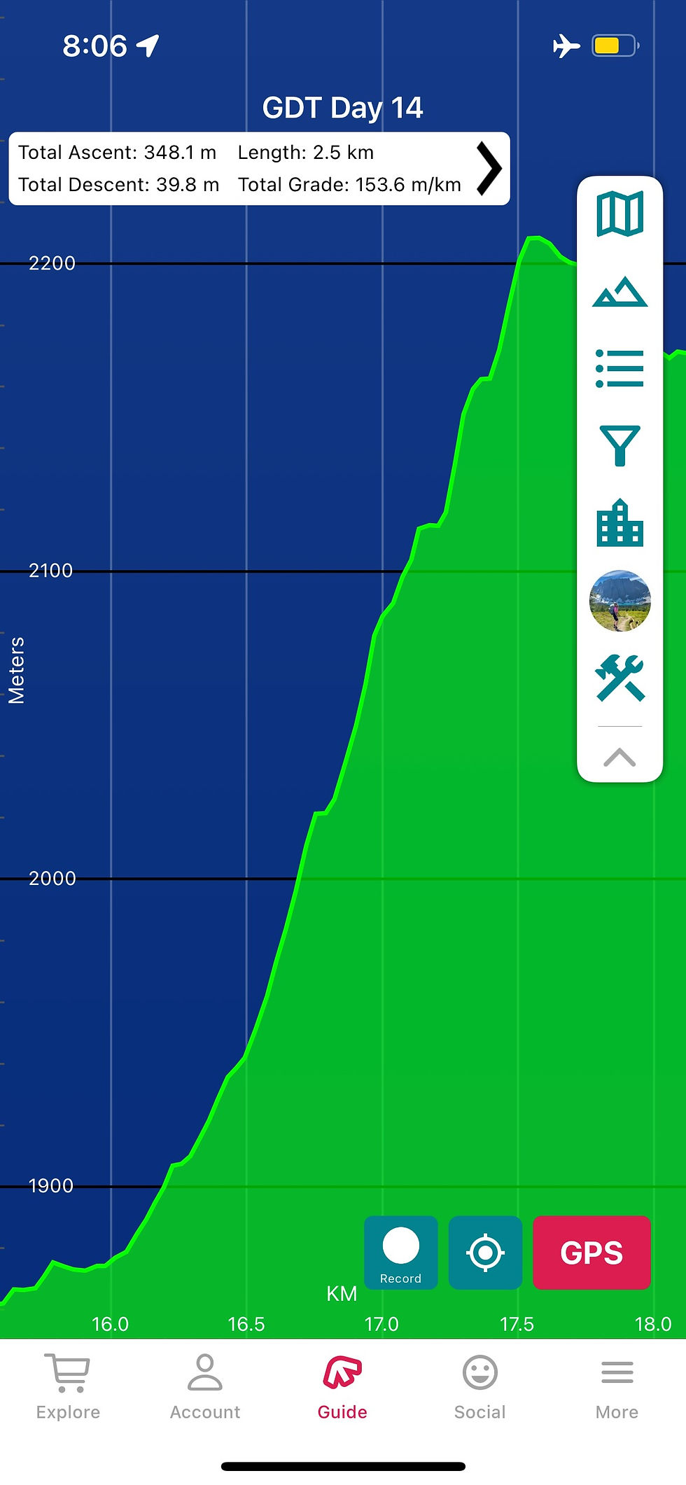
Do: Plan your itinerary based not only on daily distance, but on elevation gain/loss and condition reports
Depending on where you’re used to hiking, parts of the GDT may be a surprise to you if you’re a PCT princess like I was. Very steep trail, overgrown sections, bushwhacking, scree, avalanche/landslide debris and more can all be reasons why you may end up moving slower than you're used to. Use resources like the GDT Facebook groups and discussions, there are lots of people adding trip reports and photos that contain great information, as well as FarOut for more recent intel.

Don't: Overestimate your speed/daily mileage ability
Especially if you haven’t hiked in the region before or have limited experience with off-trail navigation. If you’ve thru-hiked before, a general rule of thumb is to take your US mileage and use that same number in kms. It's not a perfect conversion and there will definitely be days you could do more or sometimes less, but it's a pretty good place to start.
If you haven't thru-hiked before it could be harder to gauge your daily mileage - this is where considering your overall fitness and hiking experience will help, as well as using the fantastic Itinerary Resources on the Great Divide Trail Association website.
Do: Download the FarOut app and GDT trail guide
If you haven't used FarOut before, let me introduce you to one of the most valuable trail guide platforms out there. The ability to study the GDT map and create your own daily routes will be invaluable to your thru-hike planning. FarOut comments on waypoints also contains useful information about recent conditions and the experience of others, and you should pay close attention in the build up to your trip. If you’re one of the early thru-hikers of the summer season, be sure to add lots of comments to the people behind you can benefit from your experience.
Do: Research the possible alternate routes
One of the best things about the GDT is there are so many alternates to do. Many are dependent on weather conditions, but doing some research ahead of time to know which ones you definitely want to do means you can factor them in to your itinerary from the beginning. Some of them can add at least an extra half day or more, so if you add them to your planning early, it doesn’t impact your permits down the line. If the weather then doesn’t allow you to do them on the day, then at least you’re running ahead of schedule!
Some of the alternates I’d recommend or that we are planning on doing in the future are Barnaby Ridge, Northover Ridge, Amiskwi Ridge, and Collie Creek alt. This is not an exhaustive list and everyone has different preferences. Take a look at all of the blue lines on FarOut and decide which ones you may want to do - or better yet, get Dustin Lynx's Great Divide Trail guidebook for a more comprehensive overview of each of them.

Don’t: Leave yourself no buffer time in your itinerary, or expect everything to go to plan
Getting an injury or not being able to keep up with your planned itinerary can have big impacts on your permits. If you give yourself some buffer or a zero day here and there, in a best case scenario you don't need them and have more time to stop and smell the flowers (how awful!), and in a worst case scenario you end up needing to use that extra time.
Do: Give yourself extra time to do some surrounding hikes
Particularly at Mount Assiniboine Provincial Park - the scenery here is just spectacular! If you can create an itinerary that allows for more time in certain spots, it’s great to factor in more time to explore the area as you've already done the hardest part of getting there. We arrived at Lake Magog for lunch, then spent the rest of the day doing the Niblet and Nublet hikes. I wish we’d been able to get the Egypt Lake reservation to do Pharaoh Peaks as well.

Do: Book your town/zero day hotels or accommodation as early as possible
Once you've got your permits locked in, you should know when you have your town nights and can also book your accommodation. Booking early will give you the best rates and most options available, especially in some of the busier towns. If possible, try to support local businesses and services. Our faves were Country Encounters in Coleman and Tan-Y-Bryn in Banff - we've stayed there multiple times now, and it’s one of our favourite places to go back to.
Do: Have an understanding of wildlife/bear avoidance strategies
The Great Divide Trail travels through the home of many types of wildlife - bears (both grizzly and black bears), cougars, moose, elk, mountain goats, wolves, porcupines, and many more. Make sure to pack your food in a bear safe container like an Ursack, and ideally in a smell proof bag. Carry bear spray, make sure it's accessible and you know how to use it. We saw tons of evidence (scat, bear paw prints) of bears along the GDT even though we didn't actually see any. You don't need to let fear of seeing a grizzly get in the way of your hike, but definitely be bear aware.

The Great Divide Trail is not a casual undertaking. It’s logistically complex, physically demanding, and mentally taxing - but it’s also one of the most rewarding long-distance hikes in North America, and a trail that feels wilder than anything I've ever hiked.
If you’re serious about hiking the GDT, the Great Divide Trail Association is by far the most important resource you can lean on. Their website includes up-to-date route information, permit guidance, itinerary planning tools, and invaluable insights from the community that maintains and protects this trail. Supporting the GDTA also helps ensure the long-term future of the GDT itself.
If you’d like more individual help with navigating permits, itinerary building, or simply figuring out whether the GDT makes sense for you and your experience level, I can provide one-on-one trip planning support for hikers who want a second set of experienced eyes on their plans. Head over to my Work with Me page for more information or to set up a call.
I hope these do's and don'ts help in your Great Divide Trail planning - let me know in the comments if you're planning a GDT thru-hike in 2026!
Happy trails!


Comments